Africa Map – Colored Countries Stencil
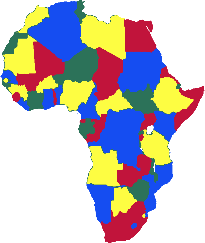
A colorful political map of Africa displaying all country borders in bright primary colors (blue, red, yellow, and green). Each nation is distinctly colored to create visual separation between neighboring countries, making it ideal for educational purposes, geography study, or artistic reference. The map shows the complete African continent with clear demarcation of all sovereign states.
In 4 colors.
Laser-cut in reusable mylar from $31, ships in 2 business days.
Download the layered SVG free
4 layers, ready to cut on a laser cutter, Cricut, Silhouette or plotter. Unlimited personal use.
Make your own
Not quite it? Make a stencil from any photo or logo, type text in any font, turn a whole font into a stencil font, spray a QR code that scans or design a repeating wall pattern.